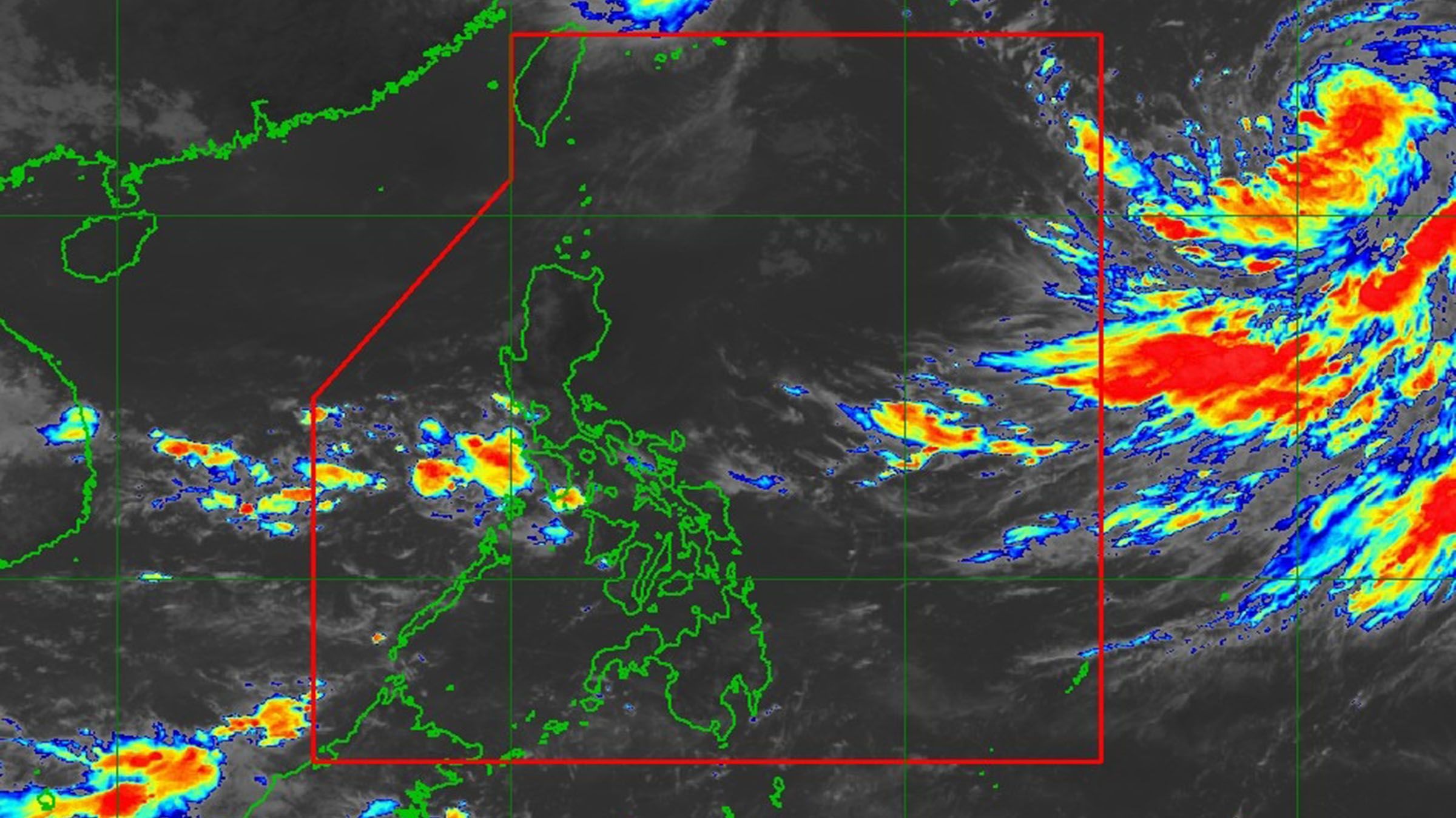
Typhoon Nanmadol approaches the PAR today, enhancing the southwest monsoon which brings scattered rains over Southern Luzon and the Visayas, and gusty conditions at the Visayas, MIMAROPA, Bicol Region, and some parts of Mindanao.
Typhoon Nanmadol may enter the Philippine Area of Responsibility this afternoon, but the cyclone will not have any direct effect on the country, said the weather bureau.
Despite not having any direct effect, the southwest monsoon enhanced by Nanmadol will bring rains over the western sections of Southern Luzon and Visayas. It may also bring gusty conditions reaching strong to gale-force strength, especially in coastal and mountainous/upland areas over Visayas, MIMAROPA, Bicol Region, and the northern and western portions of Mindanao.
The center of the eye of typhoon Nanmadol is estimated at 1,465 km East Northeast of Extreme Northern Luzon which is still outside of the PAR, the Philippine Atmospheric, Geophysical and Astronomical Services Administration..
Maximum sustained winds are at 165 kph near the center with gustiness of up to 205 kph.
It is currently moving west-northwestward at 10 kph while having strong typhoon-force winds extending outwards up to 780 km from the center.
Once Nanmadol is inside the PAR, its local name would be "Josie.” The typhoon may reach super typhoon category within 24 hours as further intensification forecast will occur throughout the forecast period.
Tags: #WeatherUpdate, #PAGASA, #Typhoon

