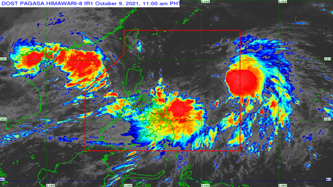
In its 11:00 a.m. bulletin, the Philippine Atmospheric, Geophysical and Astronomical Services Administration (Pagasa) said there is a likelihood that Storm “Maring” and Tropical Depression “Nando” may merge into a bigger and potentially more powerful weather disturbance.
TWO major storm systems currently inside the Philippine Area of Responsibility (PAR) may “merge,” putting more areas in the country at risk, according to the state weather bureau.
In its 11:00 a.m. bulletin, the Philippine Atmospheric, Geophysical and Astronomical Services Administration (Pagasa) said there is a likelihood that Storm “Maring” and Tropical Depression “Nando” may merge into a bigger and potentially more powerful weather disturbance.
Pagasa explained that both “Maring” and “Nando” are embedded within the larger circulation of a monsoon depression.
“’Maring’ may likely persist in the merger event with ‘Nando’, which may take place within the next 24 hours.
The resulting merger cyclone is forecast to continue intensifying within the period and may reach severe tropical storm category within 36 hours,” the weather agency said in its bulletin.
Afterwards, the resulting merger, likely dominated by “Maring,” is forecast to move generally west northwestward until Monday before turning westward by Tuesday, Pagasa added.
As of 11:00 a.m., "Maring” has been located at 820 kilometers east of Virac, Catanduanes, with maximum sustained winds of 85 kilometers per hour (kph) and gustiness of up to 105 kph.
Meanwhile, "Nando" is located at 930 kilometers east of central Luzon, with maximum sustained winds of 45 kph near the center and gustiness of 55 kph.
No storm warning for either weather disturbance has been raised, but there is moderate to high likelihood that Tropical Cyclone Wind Signal (TCWS) number 1 will be hoisted for some localities in Northern Luzon beginning Saturday or Sunday.
"Due to the expansive wind field of 'MARING', the uncertainty in its interaction and possible merging with Tropical Depression 'NANDO', and the track and intensity forecast post-merger, there is a possibility that areas outside Northern Luzon may also be placed under TCWS and that a higher wind signal may still be hoisted within the forecast period," Pagasa said.
Tags: #weather, #Pagasa, #tropicalstorm, #Maring, #Nando

